
Dei topographic map
Interactive map
Click on the map to display elevation.
About this map
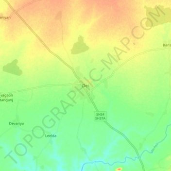
Name: Dei topographic map, elevation, terrain.
Location: Dei, Nainwa Tehsil, Bundi District, Rajasthan, India (25.63673 75.90429 25.71673 75.98429)
Average elevation: 262 m
Minimum elevation: 240 m
Maximum elevation: 283 m