
Sag Bridge topographic map
Interactive map
Click on the map to display elevation.
About this map
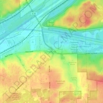
Name: Sag Bridge topographic map, elevation, terrain.
Location: Sag Bridge, Cook County, Illinois, 60439, USA (41.66826 -87.95153 41.70826 -87.91153)
Average elevation: 201 m
Minimum elevation: 174 m
Maximum elevation: 229 m