
Tczew County topographic map
Interactive map
Click on the map to display elevation.
About this map
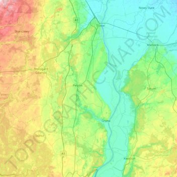
Name: Tczew County topographic map, elevation, terrain.
Location: Tczew County, Pomeranian Voivodeship, Poland (53.68376 18.54989 54.15410 18.88877)
Average elevation: 62 m
Minimum elevation: -2 m
Maximum elevation: 232 m
Other topographic maps
Click on a map to view its topography, its elevation and its terrain.