
Carumas topographic map
Interactive map
Click on the map to display elevation.
About this map
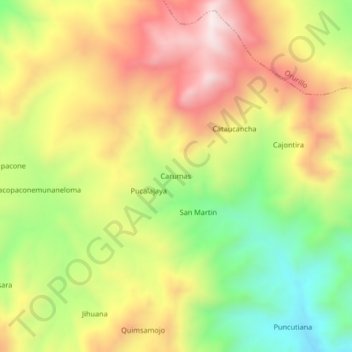
Name: Carumas topographic map, elevation, terrain.
Location: Carumas, Melgar, Puno, Perú (-14.82038 -70.54518 -14.78038 -70.50518)
Average elevation: 4,400 m
Minimum elevation: 4,079 m
Maximum elevation: 4,718 m