Geolocate

Wallula topographic map

Click on the map to display elevation.

About this map

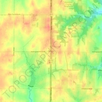
Name: Wallula topographic map, elevation, terrain.

Location: Wallula, Kansas City, Wyandotte County, Kansas, United States (39.15250 -94.92052 39.19250 -94.88052)

Average elevation: 292 m

Minimum elevation: 260 m

Maximum elevation: 311 m

Other topographic maps

Click on a map to view its topography, its elevation and its terrain.

Gear up for your next adventure:

📚Map Reading & Navigation Guides - Master the art of interpreting topographic contours and symbols
🛌Compact Down Sleeping Bags - Warmth without the bulk, ideal for backcountry camping
💡Collapsible Camping Lanterns - Illuminate your base camp or tent for map studying at night
🧤Hiking Gloves - Protective gloves for outdoor use
🧤Thermal Hiking Gloves - Keep your hands warm and functional during high-altitude winter treks

As an Amazon Associate, this site earns from qualifying purchases at no extra cost to you.