Geolocate

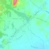
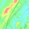
Grottoes topographic map

Click on the map to display elevation.

About this map
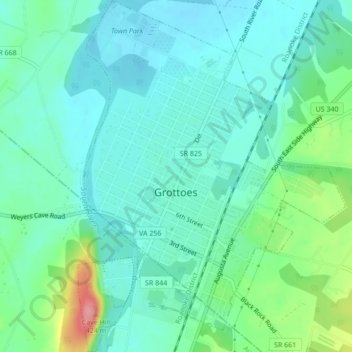
Name: Grottoes topographic map, elevation, terrain.

Location: Grottoes, Rockingham County, Virginia, United States (38.25208 -78.83775 38.28564 -78.80520)

Average elevation: 346 m

Minimum elevation: 322 m

Maximum elevation: 425 m

Other topographic maps

Click on a map to view its topography, its elevation and its terrain.

Lilly

United States > Virginia > Rockingham County

Average elevation: 439 m

Massanutten

United States > Virginia > Rockingham County

Average elevation: 573 m

Bergton

United States > Virginia > Rockingham County

Average elevation: 530 m

Flagpole Knob

United States > Virginia > Rockingham County

Average elevation: 1,106 m

Montevideo

United States > Virginia > Rockingham County

Average elevation: 369 m

Plains Mill

United States > Virginia > Rockingham County

Average elevation: 316 m

East Point

United States > Virginia > Rockingham County

Average elevation: 320 m

Gear up for your next adventure:

🥾Heavy Duty Hiking Boots - Ankle-supporting boots for carrying heavy packs on steep contours
🔋Solar Power Banks - Charge your phone and GPS using the sun while deep in the bush
🔥Camping Stoves - Portable stoves for outdoor cooking
🏕️Camping Gear - Essential camping equipment
📕Hiking Guide Books - Guides for hiking trails

As an Amazon Associate, this site earns from qualifying purchases at no extra cost to you.