
Puente Madera topographic map
Interactive map
Click on the map to display elevation.
About this map
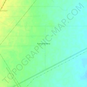
Name: Puente Madera topographic map, elevation, terrain.
Location: Puente Madera, San Blas Atempa, Oaxaca, Mexico (16.35389 -95.20139 16.39389 -95.16139)
Average elevation: 27 m
Minimum elevation: 18 m
Maximum elevation: 40 m