
기암리 topographic map
Interactive map
Click on the map to display elevation.
About this map
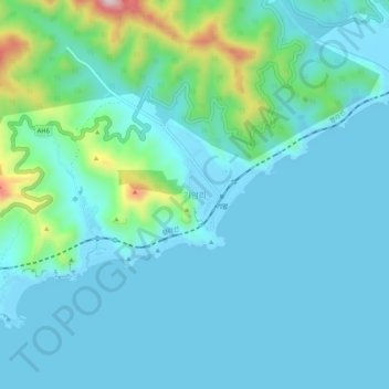
Name: 기암리 topographic map, elevation, terrain.
Location: 기암리, Riwon COunty, South Hamgyong, North Korea (40.34041 128.78760 40.38041 128.82760)
Average elevation: 51 m
Minimum elevation: -5 m
Maximum elevation: 328 m