Geolocate

Dugway topographic map

Click on the map to display elevation.

About this map
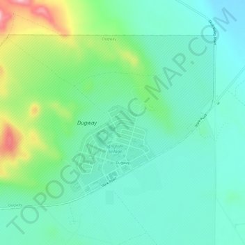
Name: Dugway topographic map, elevation, terrain.

Location: Dugway, Tooele County, Utah, 84022, United States (40.21291 -112.78082 40.24457 -112.72318)

Average elevation: 1,505 m

Minimum elevation: 1,456 m

Maximum elevation: 1,656 m

Gear up for your next adventure:

👟Lightweight Trail Runners - Agile footwear for fast movement over rugged Australian terrain
🔑Heavy Duty Carabiners - Secure gear to the outside of your pack for easy access
🐍Australian Snake Bite Kits - Specific pressure immobilization bandages for Australian venomous snakes
🧥Packable Rain Jackets - Breathable waterproof layers for unpredictable mountain weather
🪫Rechargeable Headlamps - USB rechargeable headlamps

As an Amazon Associate, this site earns from qualifying purchases at no extra cost to you.