
Vallentine Pond Dam D-3767 topographic map
Interactive map
Click on the map to display elevation.
About this map
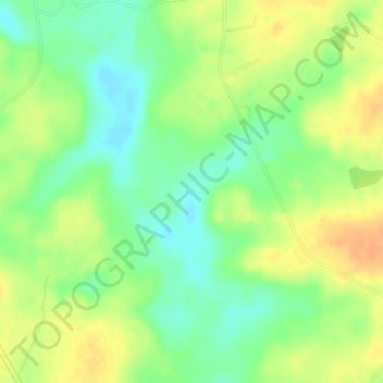
Name: Vallentine Pond Dam D-3767 topographic map, elevation, terrain.
Average elevation: 66 m
Minimum elevation: 48 m
Maximum elevation: 83 m