
RANGEL topographic map
Interactive map
Click on the map to display elevation.
About this map
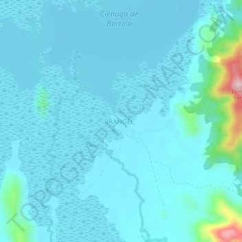
Name: RANGEL topographic map, elevation, terrain.
Location: RANGEL, Montecristo, Mojana, Bolívar, Colômbia (8.23410 -74.51724 8.27410 -74.47724)
Average elevation: 46 m
Minimum elevation: 17 m
Maximum elevation: 318 m