Geolocate

Saabar topographic map

Click on the map to display elevation.

About this map
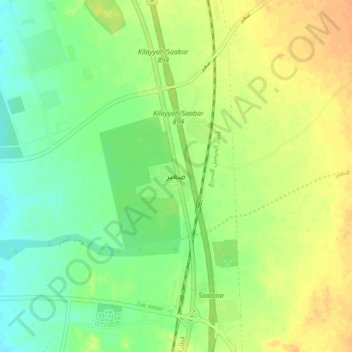
Name: Saabar topographic map, elevation, terrain.

Location: Saabar, Rabigh, Makkah Region, Saudi Arabia (22.40929 39.15015 22.48929 39.23015)

Average elevation: 17 m

Minimum elevation: 2 m

Maximum elevation: 33 m

Other topographic maps

Click on a map to view its topography, its elevation and its terrain.
Rabigh Dam

Saudi Arabia > Makkah Region > Rabigh

Average elevation: 187 m

Gear up for your next adventure:

👖Convertible Hiking Trousers - Zip-off legs to adapt to changing temperatures throughout the day
🧼Biodegradable Outdoor Soap - Clean gear and yourself without harming the local ecosystem
📷Backpack Camera Clips - Quick access to your camera while keeping your hands free for climbing
🥾Hiking Boots - Durable hiking boots for trails and rough terrain
🎒Hiking Backpacks - Backpacks designed for hiking and trekking

As an Amazon Associate, this site earns from qualifying purchases at no extra cost to you.