
Rio Chapare topographic map
Interactive map
Click on the map to display elevation.
About this map
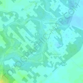
Name: Rio Chapare topographic map, elevation, terrain.
Location: Rio Chapare, Villa Tunari, Chapare, CBA, Bolivia (-16.89876 -65.24087 -16.88519 -65.22665)
Average elevation: 215 m
Minimum elevation: 209 m
Maximum elevation: 229 m
Other topographic maps
Click on a map to view its topography, its elevation and its terrain.
Parque Nacional y Territorio Indígena Isiboro Sécure
Bolivia > CBA > Villa Tunari
Parque Nacional y Territorio Indígena Isiboro Sécure, Villa Tunari, Chapare, CBA, Bolivia
Average elevation: 515 m