
Scaddan topographic map
Interactive map
Click on the map to display elevation.
About this map
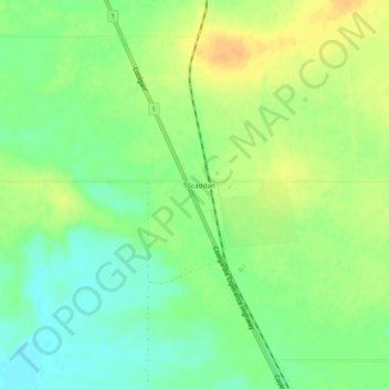
Name: Scaddan topographic map, elevation, terrain.
Location: Scaddan, Western Australia, Australia (-33.46216 121.70353 -33.42216 121.74353)
Average elevation: 181 m
Minimum elevation: 166 m
Maximum elevation: 196 m