
Levata topographic map
Interactive map
Click on the map to display elevation.
About this map
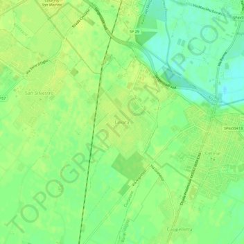
Name: Levata topographic map, elevation, terrain.
Location: Levata, Curtatone, Mantua, Lombardy, 46034, Italy (45.10298 10.74681 45.14298 10.78681)
Average elevation: 23 m
Minimum elevation: 12 m
Maximum elevation: 28 m