
Santa Bárbara topographic map
Interactive map
Click on the map to display elevation.
About this map
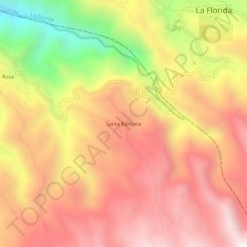
Name: Santa Bárbara topographic map, elevation, terrain.
Location: Santa Bárbara, Sandoná, Occidente, Nariño, Colômbia (1.26016 -77.43917 1.30016 -77.39917)
Average elevation: 2,320 m
Minimum elevation: 1,643 m
Maximum elevation: 2,757 m