
Hacılar topographic map
Interactive map
Click on the map to display elevation.
About this map
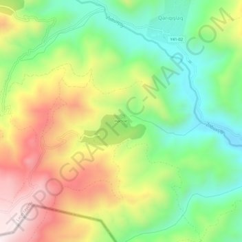
Name: Hacılar topographic map, elevation, terrain.
Location: Hacılar, Laçın Rayonu, Zanguezour Est, Azerbaïdjan (39.63262 46.35584 39.67262 46.39584)
Average elevation: 1,448 m
Minimum elevation: 1,150 m
Maximum elevation: 1,853 m