
't Goy topographic map
Interactive map
Click on the map to display elevation.
About this map
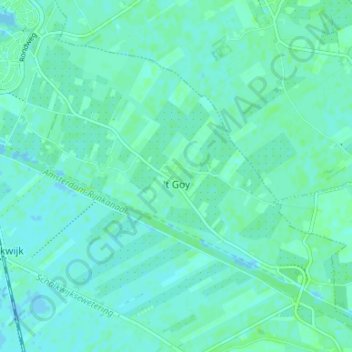
Name: 't Goy topographic map, elevation, terrain.
Location: 't Goy, Houten, Utrecht, Nederland (51.98588 5.18984 52.01745 5.25621)
Average elevation: 3 m
Minimum elevation: -4 m
Maximum elevation: 8 m
Other topographic maps
Click on a map to view its topography, its elevation and its terrain.
Oud-Wulven
Oud-Wulven, Houten, Utrecht, Nederland, 3992 AA, Nederland
Average elevation: 3 m
Tull en 't Waal
Tull en 't Waal, Houten, Utrecht, Nederland
Average elevation: 2 m