
Thank you for supporting this site ❤️
Make a donation
Make a donation
Gear up for your next adventure:
As an Amazon Associate, this site earns from qualifying purchases at no extra cost to you.
Arbaouat topographic map
Click on the map to display elevation.
Thank you for supporting this site ❤️
Make a donation
Make a donation
Gear up for your next adventure:
As an Amazon Associate, this site earns from qualifying purchases at no extra cost to you.
About this map
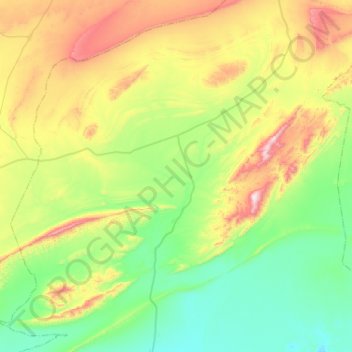
Name: Arbaouat topographic map, elevation, terrain.
Location: Arbaouat, El Abiodh Sidi Cheikh District, El Bayadh, Algeria (32.94335 0.31872 33.33870 0.83676)
Average elevation: 1,144 m
Minimum elevation: 903 m
Maximum elevation: 1,730 m
Thank you for supporting this site ❤️
Make a donation
Make a donation
Gear up for your next adventure:
As an Amazon Associate, this site earns from qualifying purchases at no extra cost to you.