Geolocate

Repton topographic map

Click on the map to display elevation.

About this map

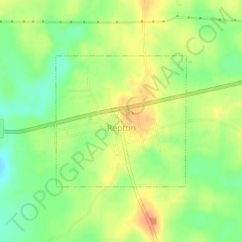
Name: Repton topographic map, elevation, terrain.

Location: Repton, Conecuh County, Alabama, 36475-3207, United States (31.40245 -87.24775 31.41710 -87.23065)

Average elevation: 100 m

Minimum elevation: 77 m

Maximum elevation: 121 m

Gear up for your next adventure:

GPS Watches - GPS watches for outdoor sports
🥾Hiking Shoes - Lightweight hiking shoes for day hikes
🛌Compact Down Sleeping Bags - Warmth without the bulk, ideal for backcountry camping
🥾Hiking Gaiters - Leg protection for trails
📦Crushproof Equipment Cases - Safe transport for sensitive surveying and mapping instruments

As an Amazon Associate, this site earns from qualifying purchases at no extra cost to you.