
Owatonna topographic map
Interactive map
Click on the map to display elevation.
About this map
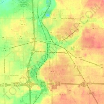
Name: Owatonna topographic map, elevation, terrain.
Location: Owatonna, Steele County, Minnesota, 55060, United States (44.04399 -93.26611 44.12399 -93.18611)
Average elevation: 363 m
Minimum elevation: 324 m
Maximum elevation: 390 m