
Town of Garner topographic map
Interactive map
Click on the map to display elevation.
About this map
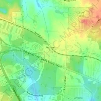
Name: Town of Garner topographic map, elevation, terrain.
Location: Town of Garner, Wake County, North Carolina, United States (35.69172 -78.55549 35.69300 -78.55449)
Average elevation: 98 m
Minimum elevation: 76 m
Maximum elevation: 125 m