
Yuma County topographic map
Interactive map
Click on the map to display elevation.
About this map
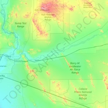
Name: Yuma County topographic map, elevation, terrain.
Location: Yuma County, Arizona, États-Unis d'Amérique (32.03888 -114.81836 33.46706 -113.32860)
Average elevation: 252 m
Minimum elevation: 20 m
Maximum elevation: 1,441 m