Geolocate

Vinterbro topographic map

Click on the map to display elevation.

About this map

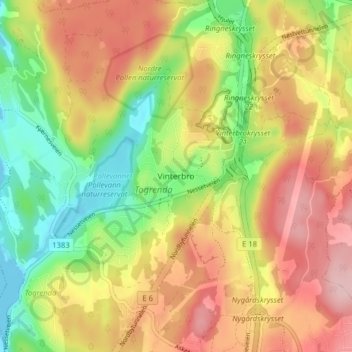
Name: Vinterbro topographic map, elevation, terrain.

Location: Vinterbro, Ås, Viken, 1407, Norway (59.72027 10.74718 59.76027 10.78718)

Average elevation: 91 m

Minimum elevation: -1 m

Maximum elevation: 181 m

Gear up for your next adventure:

🧤Hiking Gloves - Protective gloves for outdoor use
🩹Blister Prevention Tape - Apply to friction points before they become painful sores
🔪Outdoor Multi-tools - Versatile tools for gear repair and survival tasks in the wilderness
🧣Merino Neck Gaiters - Versatile headwear for warmth, sun protection, or dust filtering
🧺Fast-Dry Microfiber Towels - Large towels that pack down to the size of an orange

As an Amazon Associate, this site earns from qualifying purchases at no extra cost to you.