
Mainzweiler topographic map
Interactive map
Click on the map to display elevation.
About this map
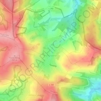
Name: Mainzweiler topographic map, elevation, terrain.
Average elevation: 337 m
Minimum elevation: 265 m
Maximum elevation: 398 m
Other topographic maps
Click on a map to view its topography, its elevation and its terrain.
Betzelhübel
Deutschland > Saarland > Landkreis Neunkirchen > Ottweiler
Betzelhübel, Ottweiler, Landkreis Neunkirchen, Saarland, 66564, Deutschland
Average elevation: 340 m