
Las Flores topographic map
Interactive map
Click on the map to display elevation.
About this map
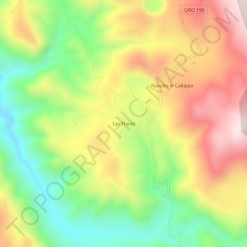
Name: Las Flores topographic map, elevation, terrain.
Location: Las Flores, Jalpan de Serra, Querétaro, México (21.42280 -99.36205 21.46280 -99.32205)
Average elevation: 827 m
Minimum elevation: 528 m
Maximum elevation: 1,160 m