
Großendorf topographic map
Interactive map
Click on the map to display elevation.
About this map
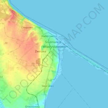
Name: Großendorf topographic map, elevation, terrain.
Average elevation: 13 m
Minimum elevation: -3 m
Maximum elevation: 61 m
Other topographic maps
Click on a map to view its topography, its elevation and its terrain.
Jurata
Polen > Woiwodschaft Pommern > powiat pucki > Heisternest
Jurata, Heisternest, powiat pucki, Woiwodschaft Pommern, 84-141, Polen
Average elevation: 0 m