
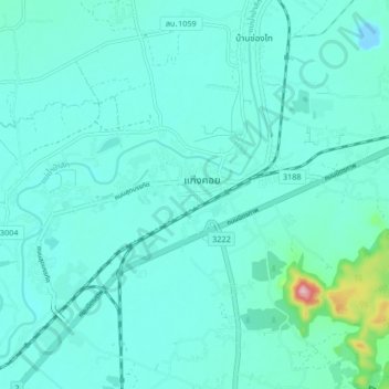
Kaeng Khoi topographic map
Interactive map
Click on the map to display elevation.
About this map
Name: Kaeng Khoi topographic map, elevation, terrain.
Location: Kaeng Khoi, Takut, Saraburi Province, 18110, Thailand (14.54978 100.96013 14.62978 101.04013)
Average elevation: 30 m
Minimum elevation: -9 m
Maximum elevation: 240 m