Geolocate

Bamboo topographic map

Click on the map to display elevation.

About this map

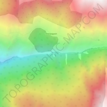
Name: Bamboo topographic map, elevation, terrain.

Location: Bamboo, Syaphru, Gosaikund, Rasuwa, Bagmati Pradesh, Nepal (28.13505 85.37811 28.17505 85.41811)

Average elevation: 2,781 m

Minimum elevation: 1,693 m

Maximum elevation: 3,902 m

👉 Easily get elevation data in JSON, GeoTIFF and KML formats using Elevation API
Thank you for supporting this site ❤️
Make a donation

Gear up for your next adventure:

As an Amazon Associate, this site earns from qualifying purchases at no extra cost to you.

Gear up for your next adventure:

🔦Headlamps - Hands-free lighting for hiking
🚴Bike GPS - GPS devices for cycling
🧢Outdoor Sun Hats - Sun protection hats for hiking
🧭Compass - Navigation compasses for outdoor exploration
🔥Camping Stoves - Portable stoves for outdoor cooking

As an Amazon Associate, this site earns from qualifying purchases at no extra cost to you.