Geolocate

Reef topographic map

Click on the map to display elevation.

About this map

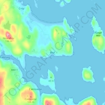
Name: Reef topographic map, elevation, terrain.

Location: Reef, Western Isles, Scotland, HS2 9HU, United Kingdom (58.18474 -6.94460 58.22474 -6.90460)

Average elevation: 18 m

Minimum elevation: -4 m

Maximum elevation: 125 m

Other topographic maps

Click on a map to view its topography, its elevation and its terrain.

St Kilda

United Kingdom > Scotland > Western Isles

Average elevation: 11 m

Gear up for your next adventure:

📦Crushproof Equipment Cases - Safe transport for sensitive surveying and mapping instruments
🚴Bike GPS - GPS devices for cycling
🧺Fast-Dry Microfiber Towels - Large towels that pack down to the size of an orange
📱Shockproof Phone Cases - Extra protection for your smartphone against drops on rocky terrain
🔪Multitools - Compact tools for outdoor use

As an Amazon Associate, this site earns from qualifying purchases at no extra cost to you.