
Чулуут ᠴᠢᠯᠠᠭᠤᠲᠤ topographic map
Interactive map
Click on the map to display elevation.
About this map
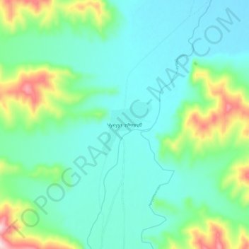
Name: Чулуут ᠴᠢᠯᠠᠭᠤᠲᠤ topographic map, elevation, terrain.
Location: Чулуут ᠴᠢᠯᠠᠭᠤᠲᠤ, Chuluut, Archangai, Mongolei (47.49642 100.18812 47.57642 100.26812)
Average elevation: 2,096 m
Minimum elevation: 2,007 m
Maximum elevation: 2,388 m
Other topographic maps
Click on a map to view its topography, its elevation and its terrain.