
La Culata topographic map
Interactive map
Click on the map to display elevation.
About this map
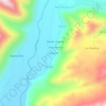
Name: La Culata topographic map, elevation, terrain.
Location: La Culata, Río Grande, Condesuyos, Arequipa, Perú (-15.97033 -73.15442 -15.93033 -73.11442)
Average elevation: 716 m
Minimum elevation: 419 m
Maximum elevation: 1,303 m