
Merton topographic map
Interactive map
Click on the map to display elevation.
About this map
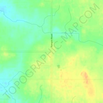
Name: Merton topographic map, elevation, terrain.
Location: Merton, Steele County, Minnesota, United States (44.13607 -93.15660 44.15607 -93.13660)
Average elevation: 379 m
Minimum elevation: 363 m
Maximum elevation: 395 m