Geolocate

Highway topographic map

Click on the map to display elevation.

About this map

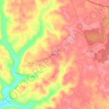
Name: Highway topographic map, elevation, terrain.

Location: Highway, Clinton County, Kentucky, United States (36.71840 -85.22885 36.75840 -85.18885)

Average elevation: 287 m

Minimum elevation: 211 m

Maximum elevation: 319 m

Gear up for your next adventure:

🧼Biodegradable Soap - Eco-friendly outdoor soap
📸Action Cameras - Record your journey across interesting topographic features in 4K
🌿Flora and Fauna Field Guides - Identify the plants and animals you encounter on your route
Ultralight Solo Tents - Compact shelters for multi-day topographic surveying expeditions
🎒Tactical Waist Packs - Quick access to your compass, phone, and snacks while walking

As an Amazon Associate, this site earns from qualifying purchases at no extra cost to you.