
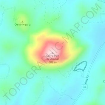
Cerro Pan de Azúcar topographic map
Interactive map
Click on the map to display elevation.
About this map
Name: Cerro Pan de Azúcar topographic map, elevation, terrain.
Location: Cerro Pan de Azúcar, Maldonado, 20300, Uruguay (-34.81013 -55.25870 -34.81003 -55.25860)
Average elevation: 115 m
Minimum elevation: 37 m
Maximum elevation: 387 m
Other topographic maps
Click on a map to view its topography, its elevation and its terrain.