
Bella Vista topographic map
Interactive map
Click on the map to display elevation.
About this map
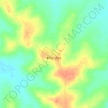
Name: Bella Vista topographic map, elevation, terrain.
Location: Bella Vista, Paysandú, 50000, Uruguay (-31.66561 -57.72616 -31.66193 -57.72098)
Average elevation: 87 m
Minimum elevation: 66 m
Maximum elevation: 113 m