
Nanga topographic map
Interactive map
Click on the map to display elevation.
About this map
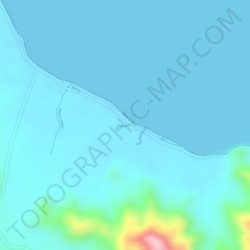
Name: Nanga topographic map, elevation, terrain.
Location: Nanga, Bima, Kabupaten Bima, West Nusa Tenggara, Indonesia (-8.64977 119.04526 -8.64896 119.04728)
Average elevation: 22 m
Minimum elevation: -1 m
Maximum elevation: 219 m
Other topographic maps
Click on a map to view its topography, its elevation and its terrain.
Nanga
Indonesia > West Nusa Tenggara > Bima
Nanga, Bima, Kabupaten Bima, West Nusa Tenggara, Indonesia
Average elevation: 14 m