
Salta topographic map
Interactive map
Click on the map to display elevation.
About this map
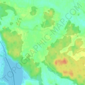
Name: Salta topographic map, elevation, terrain.
Location: Salta, Enköpings kommun, Provinz Uppsala, 745 92, Schweden (59.55968 16.92461 59.59968 16.96461)
Average elevation: 13 m
Minimum elevation: -2 m
Maximum elevation: 33 m