
咸水河 topographic map
Interactive map
Click on the map to display elevation.
About this map
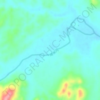
Name: 咸水河 topographic map, elevation, terrain.
Location: 咸水河, 全州县, 桂林市, 广西壮族自治区, 中国 (25.81671 110.82216 25.83442 110.85278)
Average elevation: 196 m
Minimum elevation: 174 m
Maximum elevation: 290 m
Other topographic maps
Click on a map to view its topography, its elevation and its terrain.