Geolocate

Dordon topographic map

Click on the map to display elevation.

About this map

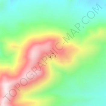
Name: Dordon topographic map, elevation, terrain.

Location: Dordon, Dongru, Rutog County, Ngari Prefecture, Tibet, China (34.53368 80.37509 34.53378 80.37519)

Average elevation: 5,482 m

Minimum elevation: 5,217 m

Maximum elevation: 5,866 m

Gear up for your next adventure:

🧼Biodegradable Outdoor Soap - Clean gear and yourself without harming the local ecosystem
Altimeter Watches - Watches with altitude tracking
🧢Wide Brim Sun Hats - Maximum coverage for the face and neck while out in the open
🎒40L Day Hiking Backpacks - Comfortable packs with hydration support for long days exploring topographic peaks
🧴Sunscreen SPF - Sun protection for outdoor activities

As an Amazon Associate, this site earns from qualifying purchases at no extra cost to you.