
Solomon topographic map
Click on the map to display elevation.
About this map
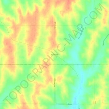
Name: Solomon topographic map, elevation, terrain.
Location: Solomon, Mills County, Iowa, 51645, United States (40.88528 -95.46194 40.92528 -95.42194)
Average elevation: 343 m
Minimum elevation: 316 m
Maximum elevation: 365 m