
Santa Comba topographic map
Interactive map
Click on the map to display elevation.
About this map
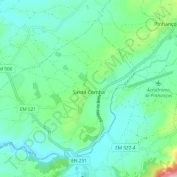
Name: Santa Comba topographic map, elevation, terrain.
Location: Santa Comba, Seia, Guarda, Serra da Estrela, Centro, Portugal (40.43117 -7.75705 40.47051 -7.69203)
Average elevation: 445 m
Minimum elevation: 388 m
Maximum elevation: 658 m