

Gaya topographic map
Click on the map to display elevation.
Gaya
Gaya Junction railway station is a junction station serving the city. Gaya Junction was the only station in Bihar and Jharkhand in the list of 66 stations to be built to international standards drawn up by Minister of Railways Mamata Banerjee. Gaya falls under the jurisdiction of the Mughalsarai railway division of the East Central Railway zone. The Grand Chord rail line that connects Howrah and New Delhi passes through Gaya. It lies between Mughalsarai Junction on the Delhi side and Dhanbad Junction on the Howrah side. It is located at 24°48′13″N 84°59′57″E / 24.80361°N 84.99917°E / 24.80361; 84.99917. It has an elevation of 117 metres (384 ft).
About this map
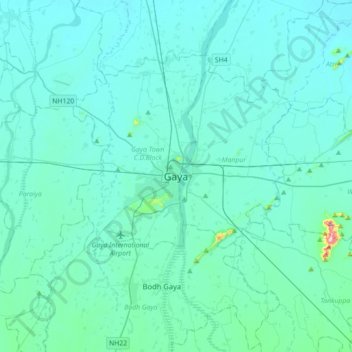
Name: Gaya topographic map, elevation, terrain.
Location: Gaya, Gaya Town C.D.Block, Gaya, Bihar, 823001, India (24.63644 84.84796 24.95644 85.16796)
Average elevation: 111 m
Minimum elevation: 81 m
Maximum elevation: 480 m