
Albert topographic map
Click on the map to display elevation.
About this map
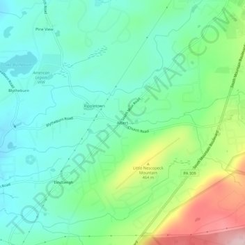
Name: Albert topographic map, elevation, terrain.
Location: Albert, Luzerne County, Pennsylvania, 18707, United States (41.10036 -75.95103 41.14036 -75.91103)
Average elevation: 393 m
Minimum elevation: 325 m
Maximum elevation: 562 m