
Bakerville topographic map
Interactive map
Click on the map to display elevation.
About this map
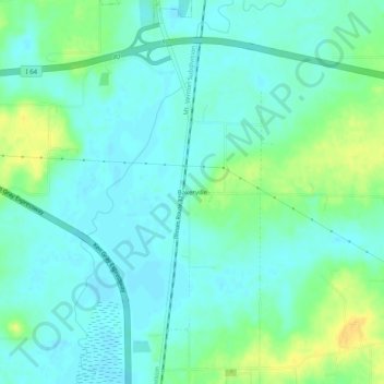
Name: Bakerville topographic map, elevation, terrain.
Location: Bakerville, Jefferson County, Illinois, 62804, USA (38.23838 -88.91757 38.27838 -88.87757)
Average elevation: 135 m
Minimum elevation: 126 m
Maximum elevation: 154 m