
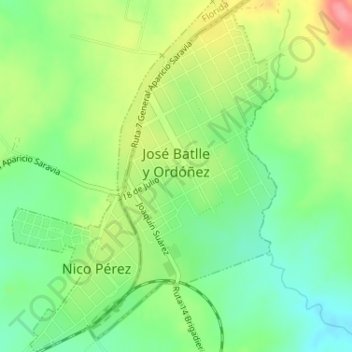
José Batlle y Ordóñez topographic map
Interactive map
Click on the map to display elevation.
About this map
Name: José Batlle y Ordóñez topographic map, elevation, terrain.
Location: José Batlle y Ordóñez, Lavalleja, 30200, Uruguay (-33.48701 -55.15493 -33.46196 -55.13769)
Average elevation: 280 m
Minimum elevation: 242 m
Maximum elevation: 336 m