
Kemah topographic map
Interactive map
Click on the map to display elevation.
About this map
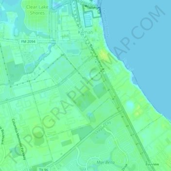
Name: Kemah topographic map, elevation, terrain.
Location: Kemah, Galveston County, Texas, États-Unis d'Amérique (29.51348 -95.03384 29.54944 -95.00169)
Average elevation: 5 m
Minimum elevation: -2 m
Maximum elevation: 13 m