
Beaconsfield topographic map
Click on the map to display elevation.
Beaconsfield
The elevation of Beaconsfield is 1210 feet above sea level.
About this map
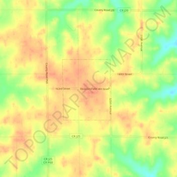
Name: Beaconsfield topographic map, elevation, terrain.
Location: Beaconsfield, Ringgold County, Iowa, 50084, United States (40.78765 -94.07013 40.82765 -94.03013)
Average elevation: 361 m
Minimum elevation: 333 m
Maximum elevation: 376 m