
Frailes topographic map
Interactive map
Click on the map to display elevation.
About this map
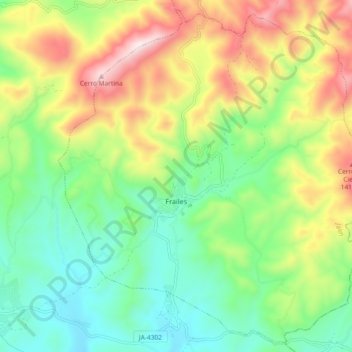
Name: Frailes topographic map, elevation, terrain.
Location: Frailes, Jaén, Andalucía, 23690, España (37.45765 -3.86810 37.52759 -3.77568)
Average elevation: 1,112 m
Minimum elevation: 856 m
Maximum elevation: 1,549 m