Geolocate

Inman topographic map

Click on the map to display elevation.

About this map

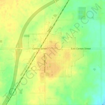
Name: Inman topographic map, elevation, terrain.

Location: Inman, McPherson County, Kansas, United States (38.22458 -97.78149 38.23719 -97.76310)

Average elevation: 459 m

Minimum elevation: 442 m

Maximum elevation: 469 m

Gear up for your next adventure:

🧯Animal Deterrent Spray - Safety spray for wildlife
🎧Bluetooth Outdoor Earbuds - Listen to navigation cues or podcasts during long solo treks
🎽Base Layers - Thermal base layers
🖼️Scratch-off Australia Map - Track the regions and peaks you have explored geographically
🧳Outdoor Travel Organizers - Gear organization accessories

As an Amazon Associate, this site earns from qualifying purchases at no extra cost to you.